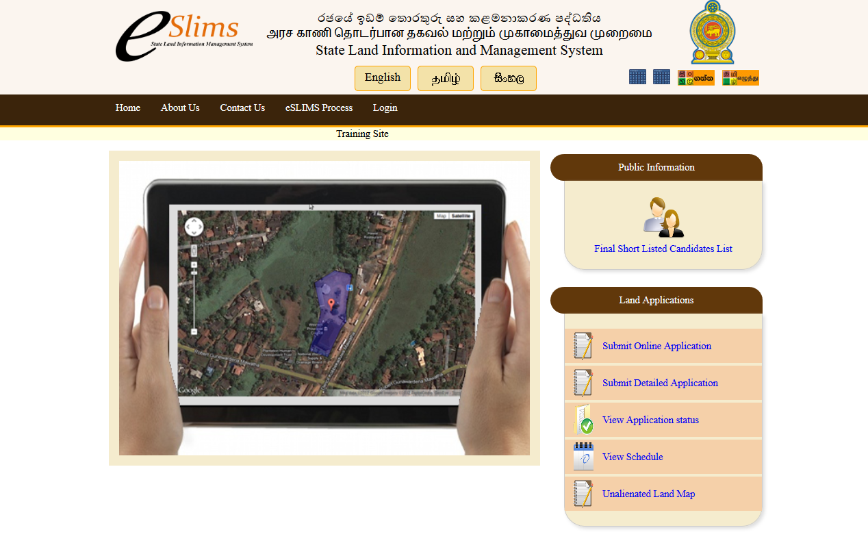
State Land Information Management System (eSlims)

eSLIMS is a highly available and scalable system which processes and maintains information of all state lands and land alienations. This system is designed to automate the land alienation process which involves in application processing and selection of candidates in land alienation. All government lands in Sri Lanka (80% of all lands in the country are government lands) will be managed via this system eventually. All government lands are mapped and assigned a unique key (GIS parcel code) to identify them across all systems. One of the main goals of the eSlims is to provide highly useful information such as land usage information for national development planning and decision making.